Our main Paragliding mountain is the
Zwölferhorn in St. Gilgen!
We have specialized in the Zwölferhorn and we also believe that the Zwölferhorn is the most beautiful and worthwhile flying mountain in the region. So normally we fly here 🙂
Nevertheless the mountain and the associated meeting point may vary depending on your booking / confirmation. You should have received your meeting point as address or coordinates through the booking confirmation.
Our Paragliding Mountains:
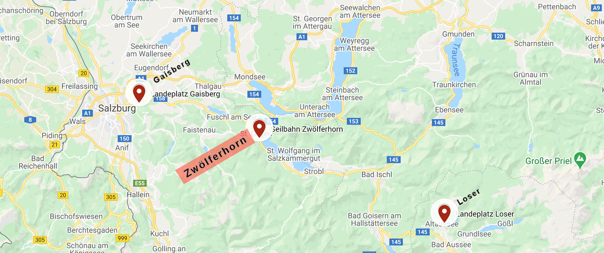
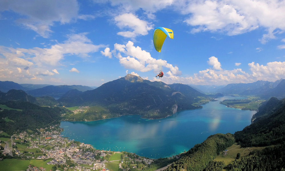
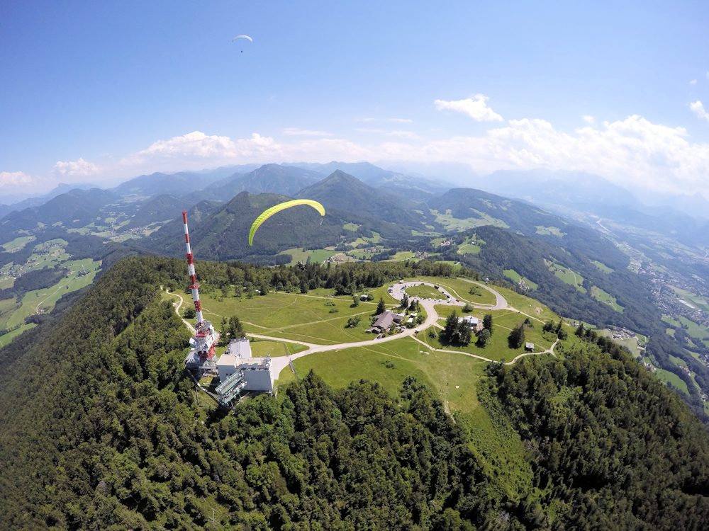
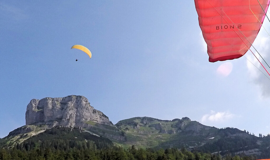
The Zwölferhorn in St. Gilgen am Wolfgangsee is our first choice for tandem flying! Here we find the best flight conditions paired with a wonderful view over Lake Wolfgang. The Zwölferhorn is an absolute highlight in Austria. The new cable car (opening 2020) brings us to the mountain station in 11 minutes. From there we go about another 20 meters to the summit. The main take-off point is located there. Spectators / companions are welcome to drive up to the launch site and watch the take-off, or wait on the landing meadow in St. Gilgen / Laim and watch the landing. The landing field in Laim is our main landing field. The Gaisberg near Salzburg is a perfect west wind Flugberg. Due to its location, it is a very good vantage point over the city of Salzburg, the Osterhorn group and the Berchtesgaden Alps. We take the public bus No. 151 or our private car to the Gaisberg. The road is toll-free without it. A very big advantage on the Gaisberg is that we can drive up to just before the starting point, so we don't have to walk. This has advantages for many viewers or older viewers. Spectators / companions are welcome to drive up to the launch site and watch the take-off, or wait on the landing meadow in Guggenthal and watch the landing. Meetingpoint carpark landingfield: Google Maps Link Meeting Point Gaisberg Landingfield Meetingoint Mountain Peak: Google Maps Link Meeting Point Gaisberg Peak The Loser is a typical autumn Flugberg on the north bank of the Altausseer See. Its striking appearance and diverse range of sports make it a symbol of the Ausseerland. We reach the starting point by private car via Panorama Straße which is a toll road. A bit of organization is required here, as we need a driver for the car who drives it down again. Alternatively we can organize a taxi. Our starting point is at around 1650 meters, a little above the Loseralm parking lot. The footpath is about 70 meters in altitude. Spectators / companions are welcome to drive up to the launch site and watch the take-off, or wait on the landing meadow in Altaussee and watch the landing. The meeting point and landing site are the same place.
Zwölferhorn in St. Gilgen, 1522 Meter

Gaisberg in Salzburg, 1287 Meter

Loser in Altaussee, 1837 Meter

Here you can find the GoogleMap-Links to the meeting points:
Google Maps Link Meetingpoint Zwölferhorn
Google Maps Link Meetingpoint Loser
Google Maps Link Meeting Point Gaisberg Landingfield
Google Maps Link Meeting Point Gaisberg Peak
Arrival with public transport:
You can also reach St. Gilgen by bus. Use the Postbus connection between Salzburg and Bad Ischl. The Zwölferhorn cable car is right next to the St. Gilgen bus station. Here is the download link for the bus timetable for bus no.150.
The Gaisberg can also be reached by bus. There is a bus between Salzburg City and the Gaisberg Spitz. Here is the bus schedule for bus 151.
